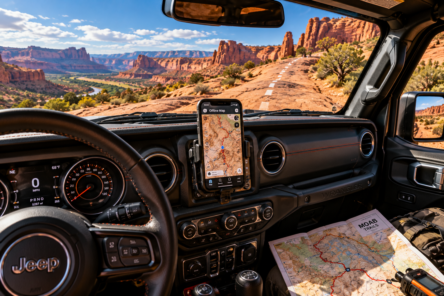
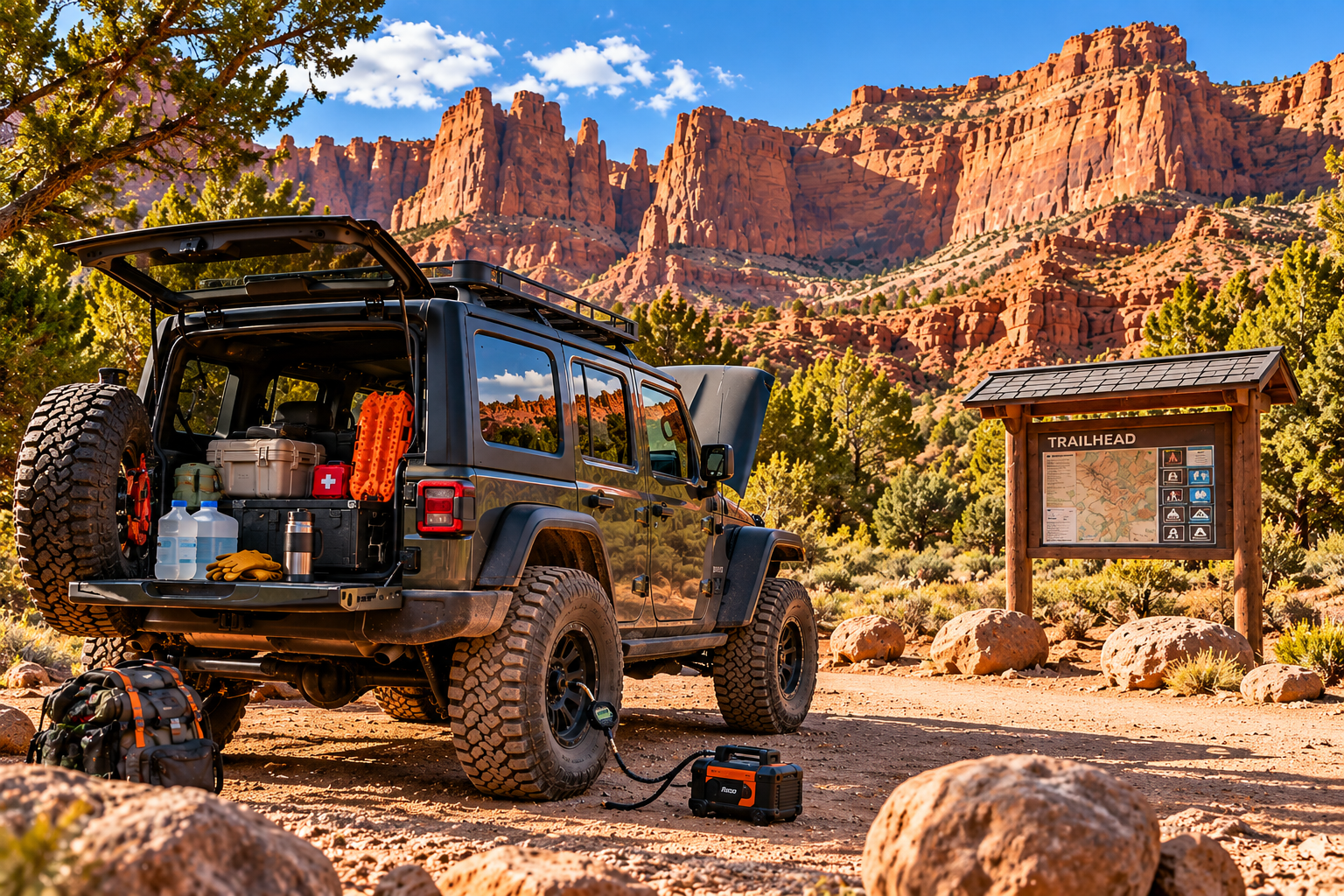
Jeep dashboard with an offline trail map on a phone and a paper Moab map
Before You Go

Navigation & Maps

Offline maps, GPS tracks and reading trail markers when your phone loses signal.

Cell service around Moab drops off fast once you leave town. Plan your navigation before you need it.

Download before you go

  • Use an off-road map app and download offline maps for the whole area, not just the trail.
  • Save the trail's GPS track so you can see if you've wandered off route.
  • Carry a paper map as a backup. Batteries die and phones break.
  • Bring a charging cable and a backup battery pack.

Reading the trail

  • On slickrock, routes are often marked with painted dashes or small markers. Stay on them.
  • Watch for signs at junctions and note landmarks as you go.
  • If you lose the markers, stop and backtrack to the last one you saw. Don't guess.
  • Some trails are one-way or closed seasonally. Check before you go.

Tell someone your plan

  • Leave your route and expected return time with someone in town.
  • A satellite messenger lets you call for help with no cell service.
  • Know your turnaround time and stick to it. Getting caught out after dark is how small problems get big.
Rig Life Partner Tip

Renting or new to the area? Ask local outfitters for current trail maps and conditions, or let a guide do the navigating on your first run.